Posts by shaina
Tracking Data Center Water Use in the Drought-Prone West

A recent study highlights the growing difficulty of tracking data center water use. Much of this operational information remains unavailable to the public. This lack of data creates significant planning challenges for communities located in water-scarce regions. Facilities utilize massive amounts of water to cool computer servers. The current data gap includes both direct…
Read MoreThe Growing Flood Coverage Gap in California
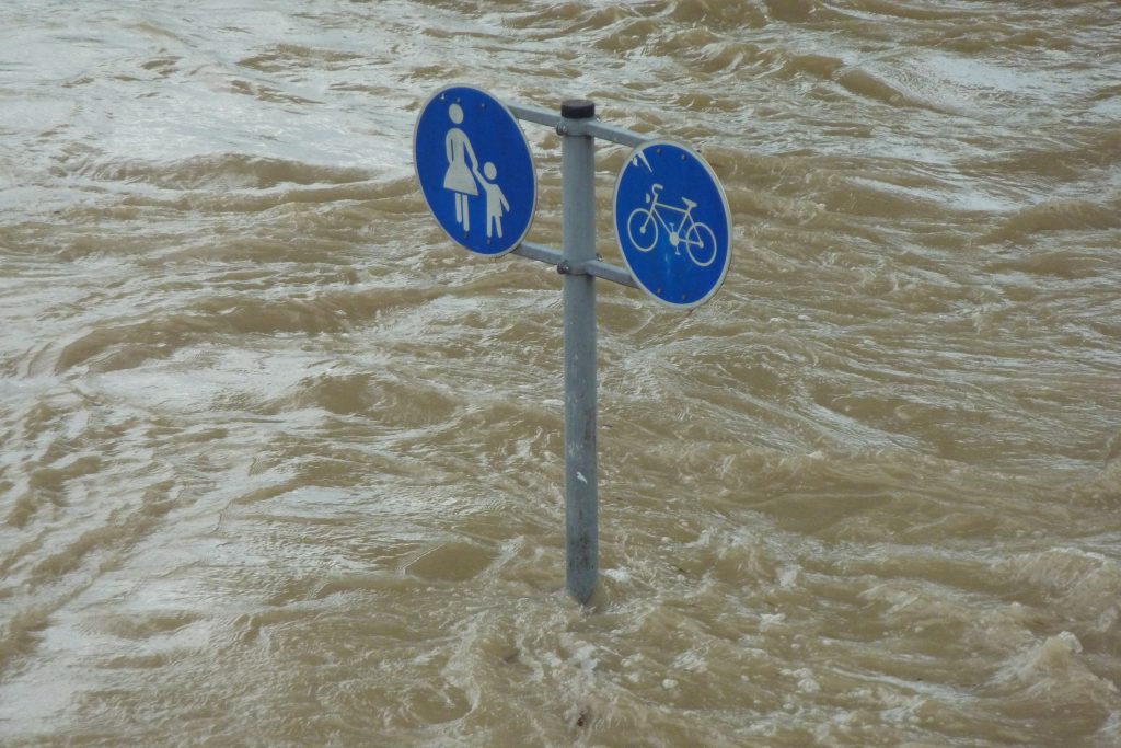
A new report from the Neptune Flood Research Group, California Underwater: A Blind Spot in the Golden State, reveals that California carries one of the largest residential flood insurance gaps of any state in the nation, leaving millions of homeowners financially exposed to a threat they may not even know they face. Residential flood…
Read MoreAdvanced Wildfire Prediction Model
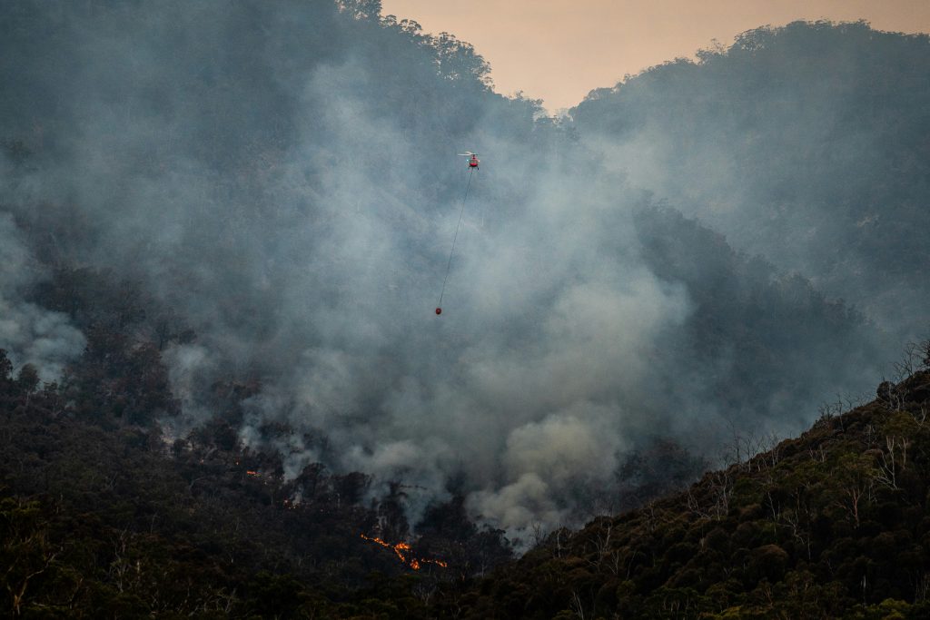
For anyone who has been forced to evacuate during a wildfire, the experience of not knowing how fast the fire is moving or which direction it will take is terrifying. That unpredictability is exactly what a team of researchers at USC Viterbi’s Department of Aerospace and Mechanical Engineering is working to eliminate. The new model,…
Read MoreSummer Is Getting Longer — and the Pace Is Accelerating

A new study from researchers at the University of British Columbia, delivers some of the clearest evidence yet that the rhythm of the seasons is fundamentally changing — and faster than scientists previously measured. The study analyzed global temperature data from 1961 through 2023, tracking not the calendar definition of summer, but the actual…
Read MoreRethinking How the US and Mexico Divide the Colorado River
A new report from a team of water law scholars, engineers, and policy experts argues that the 80-year-old framework governing how the United States delivers Colorado River water to Mexico is no longer fit for purpose — and that a fundamental redesign is both possible and urgent. Since 1945, the US has been obligated…
Read More$99 Million Available for Pacific Salmon Recovery
Applications Due June 29. NOAA Fisheries has opened applications for up to $99 million through the Pacific Coastal Salmon Recovery Fund, directing federal investment toward conservation and habitat restoration projects across the West Coast and Alaska. Eligible applicants include state agencies in Alaska, California, Idaho, Nevada, Oregon, and Washington, as well as federally…
Read MoreIntegrating Artificial Intelligence into Water Operations

The Water-AI Nexus™ Center of Excellence has released two resources designed to move artificial intelligence from pilot projects to everyday operations in water and wastewater systems. Their new insight report, “Principles for AI and the Future of Work in Water: Building an AI-Empowered Water Workforce,” lays out four principles centered on a worker-first approach…
Read MoreRegulating Data Center Water Use in California
A new policy report by UC Berkely Law entitled “Regulating Data Center Water Use in California” addresses the environmental impact of the AI-driven data center boom on the state’s water resources. The report identifies a critical lack of transparency and a fragmented regulatory framework, offering a roadmap for how the state and industry should manage this…
Read MoreNew Law Mandates Utah Data Center Water Reporting

The Utah legislature has officially passed a bill requiring water reporting for new data facilities moving into the state. Driven by concerns over resource consumption, the new legislation aims to increase transparency by mandating that operators publicly disclose their annual water usage to state officials. The bill specifically targets new data centers measuring at…
Read MoreCalifornia Multibenefit Land Repurposing Program
The California Department of Conservation has approved 13 new projects for the Multibenefit Land Repurposing Program which now has more than 4,800 acres of land enrolled. Since launching in 2022, the initiative has allocated nearly $80 million to help transition the least-viable irrigated agricultural lands into alternative uses that conserve groundwater and support local ecosystems.…
Read More