Posts by shaina
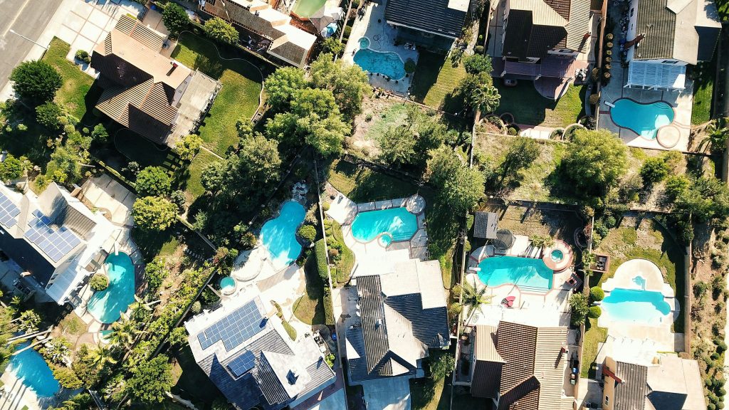
Regulatory Burden Increases for California Farmers

A new study shows that the regulatory costs for lettuce growers in California has surged by over 1,300% in under two decades. This sharp financial increase now consumes 12.6% of total production costs ands adds to mounting pressure on the state’s agriculture. Labor, healthcare, and food safety drive the largest cost increases. Labor-related regulations,…
Read MoreWater Education for Real Estate Agents
When buying property in Arizona, access to water can impact decisions, especially in rural areas. Unreliable communication about water security impacts buyer’s confidence. Ensuring licensed agents are equipped to communicate accurately about water resources is critical for clients and communities. This necessity motivated the REAL Water project, a new initiative reimagining Arizona water education. …
Read MoreSmall Water Storage Program Grant

The Bureau of Reclamation (Reclamation) has launched the Small Storage Program grant, promoting federal assistance to enhance water storage opportunities across the Western United States and its territories. Authorized by the Infrastructure Investment and Jobs Act (IIJA), this initiative aims to secure water resources for future generations. This program represents a critical tool for developing…
Read MoreNevada Groundwater Decline
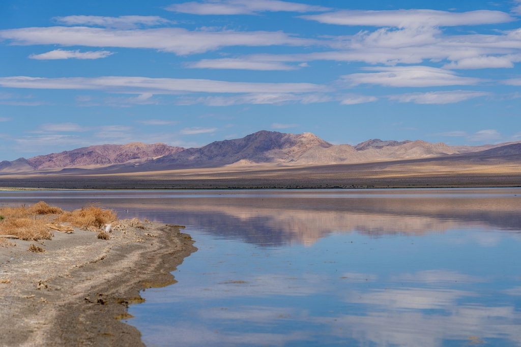
A new study reveals that Nevada groundwater is declining as a result of intensifying drought and rising demand. This decline is jeopardizing groundwater-dependent ecosystems and long-term reliability in the state. Roughly half of Nevada’s counties rely on groundwater for over 80% of their water supply and about 20% of Nevada’s groundwater basins currently suffer from…
Read MoreEPA Shares Tools to Strengthen Cyber Security

The US Environmental Protection Agency (EPA) recently released a planning toolkit that water utilities can use to prevent and respond to cyber incidents. Cyberattacks are a threat to national security and a water utility’s ability to provide water. These tools offer help to public water systems that need protect themselves and aid in risk…
Read MoreToxic Tap Water

Millions of people across the US are being served drinking water polluted by chromium-6, arsenic, and nitrate – contaminants known to cause cancer and other health problems. A new report and interactive map from the Environmental Working Group (EWG) reveal the contamination hot spots. The report claims that many regulations are outdated and focus…
Read MoreGlobal Water Cycle Is Increasingly Erratic

The World Meteorological Organization (WMO) shares a warning that the global water cycle has become increasingly erratic, swinging violently between deluge and drought. A new WMO report, called the State of Global Water Resources, highlights the cascading impacts of this instability on economies and communities across the globe. In 2024, only about one-third of…
Read MoreWater Sale Increases Agricultural Security
Xcel Energy plans to sell water it once held for power production to farmers in the water-strapped Lower Arkansas River Valley. This deal, valued at over $44 million, will help the struggling region access vital water supplies and protect its agricultural economy. Advocates hope this sale will become a model for preserving farm water security…
Read MoreRio Grande Water Dispute Settled

Parties involved in the more than decade-long legal dispute over the Rio Grande water compact have filed settlement documents, potentially ending a costly lawsuit mired before the US Supreme Court. This four-part agreement addresses federal, state, and irrigation district concerns, aiming to establish stability in a drought-stricken region. The new settlement follows the Supreme…
Read MoreNew Tech Rapidly Destroys PFAS in Water

Rice University researchers have collaborated with international partners to develop the first eco-friendly technology that can capture and destroy PFAS. This finding marks a major step toward addressing one of the world’s most persistent environmental threats: toxic “forever chemicals.” PFAS (per- and polyfluoroalkyl substances) are synthetic chemicals used in products from waterproof clothing to…
Read More